Well I think we all know by now that Sequim, Port Townsend, Port Angeles, and South Whidbey are blessed with sunshine quite a bit more than surrounding areas. I often commute between Seattle and Sequim and the pattern repeats itself consistently. I did a blog post with a play-by-play of this trip in January 2011. Scott Sistek from Komo also has a popular blog post up with a video of the trip over from Sequim toward Seattle.
Before I do the trip now I often check the live sunshine conditions page on olympicrainshadow.com; this was a new feature I got going a few months back that polls four radiation sensors in real time to give you instantaneous solar radiation levels and sunshine conditions in Seattle, Port Townsend, Sequim, and Port Angeles. Well imagine my surprise on Tuesday May 1st while sitting in the ferry line in Edmonds on a nice sunny morning, when I checked the page and saw Seattle with bright sunshine, and the other three locations with cloudy conditions. I’m saying like yuk, I think I’m heading into a reverse shadow situation!
What was all the more ironic was that just recently Cliff Mass, of UW’s department of Atmospheric Sciences, had done a blog post on our rain shadows in this state, and got quite deep into the topic of the Olympic rain shadow wandering down and visiting sunshine on Kitsap and Seattle.
Lets take a look into what was going on on May 1st.
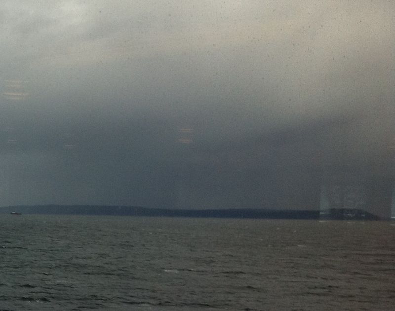
Here is the view from the Edmonds Kingston Ferry looking north toward Whidbey and typical rain shadow country, pretty dark, eh.
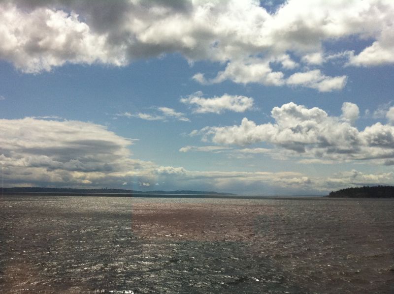
Here is the view from the Edmonds Kingston Ferry looking south toward Seattle and typical moss alley country, pretty bright, eh.
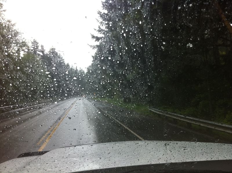
And here is the view in the neighborhood of Discovery Bay on Rt. 104, where it usually clear ups up, pretty grim, eh.
And here is the satellite photo of that time, pretty clearly showing that the shadow had wandered down south.
As Professor Mass had pointed out, this situation happens when the winds go more west-east than the typical southwest northeast winds we see during winter storms. So I took a look at the winds out on Hein Bank buoy (right in the middle of the Eastern Strait) for May 1st, and sure enough they were running close to 270 degrees West all morning.
Here is the archived data off the buoy:
#YY MM DD h m WDIR WSPD GDR GST GTIME
#yr mo dy hr mn deg m/s degT m/s hhmm
2012 05 01 19 00 239 1.3 999 99.0 9999 Noon PST
2012 05 01 18 50 261 0.9 270 7.0 1759
2012 05 01 18 40 258 2.3 999 99.0 9999
2012 05 01 18 30 251 3.0 999 99.0 9999
2012 05 01 18 20 256 3.8 260 7.0 1819
2012 05 01 18 10 254 4.6 999 99.0 9999
2012 05 01 18 00 269 4.0 999 99.0 9999 11:00 AM PST
2012 05 01 17 50 269 3.6 270 8.0 1659
2012 05 01 17 40 270 4.5 999 99.0 9999
2012 05 01 17 30 269 4.7 999 99.0 9999
2012 05 01 17 20 268 6.1 260 10.0 1624
2012 05 01 17 10 268 6.8 999 99.0 9999
2012 05 01 17 00 270 6.4 999 99.0 9999 10:00 AM PST
2012 05 01 16 50 270 6.6 260 10.0 1555
2012 05 01 16 40 265 7.3 999 99.0 9999
2012 05 01 16 30 259 7.5 999 99.0 9999
2012 05 01 16 20 264 8.0 260 11.0 1529
2012 05 01 16 10 267 8.8 999 99.0 9999 9:00 AM PST
So indeed we have a clear case here of the wandering shadow.
And this time the spotlight was on Seattle!


